
Delmarva Weather by Month & the Hurricane Reality Check
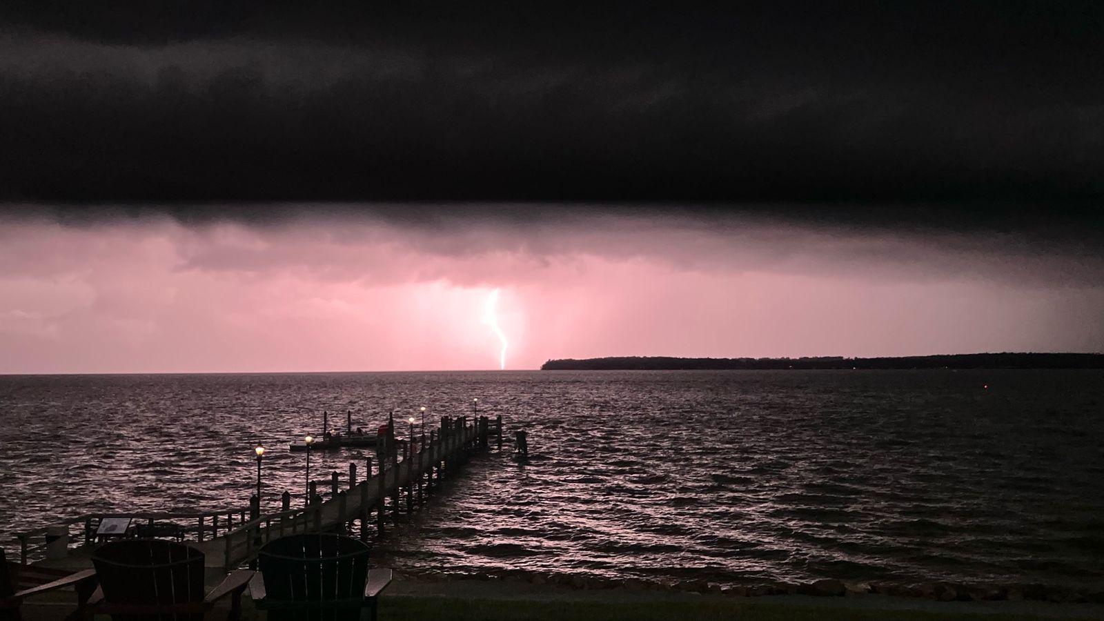
Four real seasons, glorious summers, and a hurricane risk that's much smaller than Florida's — but not zero. Here's the factual, hype-free guide.
Every relocating buyer asks about the weather, and every local has a story about a storm. Let's separate fact from folklore. Delmarva's climate is one of its genuine selling points — but coastal living comes with coastal weather, and you should understand exactly what that means before you buy.
Month by month at the Delaware beaches
(Approximate average highs/lows for the Rehoboth–Bethany coastline; inland towns run a few degrees warmer in summer and cooler in winter.)
- January: Highs ~43°F, lows ~27°F. Gray, quiet, occasionally snowy (a few inches a year, usually). The beach in winter is starkly beautiful — and empty.
- February: Highs ~45°F, lows ~28°F. Still winter, but the light starts changing. Restaurant week season in the beach towns.
- March: Highs ~53°F, lows ~35°F. Unpredictable — 70° one day, snow flurry the next. Spring teases.
- April: Highs ~62°F, lows ~43°F. The coast wakes up. Daffodils, early golf, first outdoor dining weekends.
- May: Highs ~72°F, lows ~53°F. Glorious. Ocean still chilly (~58–60°F) but the air is perfect.
- June: Highs ~81°F, lows ~63°F. Summer arrives. Ocean warms into the mid-60s — swimmable for the brave.
- July: Highs ~86°F, lows ~68°F. Peak beach season. Ocean temps reach the low-to-mid 70s. Afternoon thunderstorms are common — brief, dramatic, gone by dinner.
- August: Highs ~85°F, lows ~68°F. Warmest ocean water of the year (~72–75°F). Hurricane season peaks, but direct impacts are rare (see below).
- September: Highs ~79°F, lows ~61°F. The locals' favorite month — warm water, thinning crowds, perfect evenings.
- October: Highs ~68°F, lows ~50°F. Crisp, golden, quiet. The Sea Witch Festival crowd notwithstanding, the coast exhales.
- November: Highs ~57°F, lows ~40°F. Gray sets in; the resort towns button up.
- December: Highs ~47°F, lows ~31°F. Holiday lights on the boardwalk, off-season calm.
The hurricane reality check
Here's the fact that surprises everyone: in all of recorded history, no hurricane has ever made landfall in Delaware while still at hurricane intensity. Only two storms since 1851 have even brought hurricane-force winds to the state. Delaware's small coastline and its position — tucked behind the Delmarva Peninsula's curve, north of the typical landfall zone — give it meaningful geographic protection compared to the Carolinas or Florida.
That does not mean no risk. It means the risk looks different here:
- Hurricane Irene (2011) — the worst modern Delaware storm: ~$2.2 million in damage statewide, two deaths from flash flooding, a 66 mph gust recorded at Lewes, over 10 inches of rain at Ellendale, and an EF-1 tornado that damaged 50+ homes. Irene's center passed just east of Delaware — a near-miss that still hurt.
- Superstorm Sandy (2012) — the eye came ashore at Atlantic City, NJ, about 60 miles north of the Delaware beaches, then tracked through Wilmington. It set the highest flood tide on record at the Route 1 bridge over the Indian River Inlet.
- Hurricane Gloria (1985), Floyd (1999), Isabel (2003), Ernesto (2006) — all brought tropical-storm conditions, heavy rain, and coastal flooding to varying degrees.
- The 1962 Ash Wednesday Storm — not a hurricane at all, but a nor'easter, and still the benchmark disaster for Delaware's coast. Coastal scientists call it the "storm of the century" for the Delaware shoreline. This is the key insight: nor'easters have historically done more damage to Delaware's beaches than hurricanes — they're slower, they pound through multiple tide cycles, and they arrive in winter when nobody's watching the tropics.
The honest risk summary: catastrophic wind is unlikely; water is the real enemy — storm surge, tidal flooding, and heavy rainfall. That's why flood zone awareness (see our Flood Zones & Insurance article) matters more than hurricane shutters for most buyers.
Nor'easters and coastal flooding
A strong nor'easter can push 3–5+ feet of surge into the Delaware Bay and back-bay communities, flood Route 1 in low spots, and chew through dunes. They happen most winters. If you're buying near the water, ask: did this street flood during the last big nor'easter? Neighbors remember.
What homeowners should actually do
- Know your flood zone before you buy — check the FEMA flood map for the specific address, not just the town.
- Buy flood insurance deliberately. Standard homeowners policies don't cover flooding. Note the 30-day waiting period for new NFIP policies — you can't buy it the week a storm is forecast.
- Review insurance every spring. Hurricane season runs June 1–November 30; review wind deductibles and coverage before June, not during a storm watch.
- Shutters and prep: most inland Delmarva homes don't need permanent hurricane shutters, but have a plan — plywood pre-cut for vulnerable windows, outdoor furniture secured, gutters clear.
- Know your evacuation zone. Delaware Emergency Management publishes evacuation zones for coastal Sussex County — know yours before you need it.
- Nor'easter awareness: winter storms deserve the same respect as tropical ones. Keep storm drains clear and know which roads flood first in your neighborhood.
The bottom line
Delmarva's weather is a genuine asset — four distinct seasons, warm but rarely brutal summers, and a hurricane record that's the envy of the East Coast. The price of admission is water awareness: flood zones, storm surge, and the occasional nor'easter that reminds everyone the ocean is in charge. Buy with that understanding, insure accordingly, and you'll sleep fine through every storm season.
Sources
- Wikipedia — "List of Delaware hurricanes" (no hurricane-intensity landfall in recorded history; two hurricane-force wind events since 1851; 111+ tropical cyclones affecting the state since 1749)
- The Weather Channel — "Worst Hurricanes in All 50 States" (Hurricane Irene 2011 Delaware impacts: $2.2M damage, 2 flood fatalities, 66 mph Lewes gust, 10.43" Ellendale rainfall, EF-1 tornado)
- University of Delaware / Delaware Water Resources Center — storm flood records (Sandy 2012 record tide at Indian River Inlet Route 1 bridge; Henri 2003, Jeanne 2004, Irene 2011 flood records)
- University of Delaware coastal research — 1962 Ash Wednesday nor'easter case study ("storm of the century"; nor'easters more damaging to Delaware shoreline than hurricanes)
- Frontiers in Climate / Callahan et al. — Delmarva tropical cyclone storm-surge rankings 1980–2019 (Sandy, Gloria, Isabel, Irene, Floyd, Ernesto)
- NOAA / National Hurricane Center — historical hurricane data
- FEMA — Flood Map Service Center; NFIP 30-day waiting period
- Delaware Emergency Management Agency — coastal evacuation zones (consult live)